| 30/12/23(Sat)12:35
|
| 29/12/23(Fri)10:06  (4432.6 Kb, 3440x1440)
|
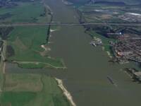
| 29/12/23(Fri)10:01  (2891.9 Kb, 1462x1103) De Waal (river) crosses the 2 towns
|
| 30/12/23(Sat)12:35
|
| 29/12/23(Fri)10:06  (4432.6 Kb, 3440x1440)
|
| 29/12/23(Fri)10:01  (2891.9 Kb, 1462x1103) De Waal (river) crosses the 2 towns
|